- This topic has 1 voice and 0 replies.
Viewing 0 reply threads
Viewing 0 reply threads
- You must be logged in to reply to this topic.
› Forums › AgriTech › News(Agri) › Deep learning and Soil Science — Part 2
Tagged: AgriTech_V6, AIAnalytics_H13, Drones_H6
#News(AgriTech) [ via IoTForIndiaGroup ]
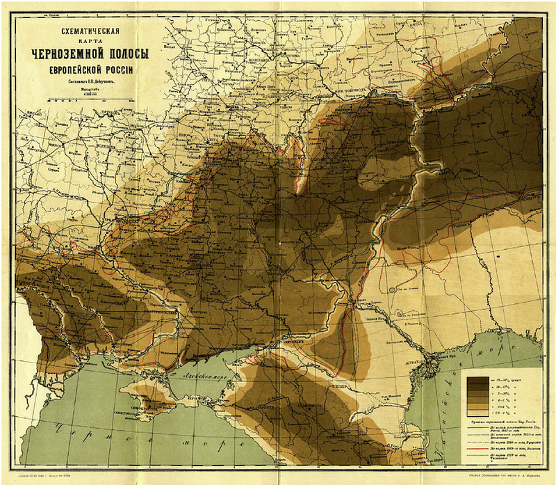
Digital Soil Mapping using contextual spatial information. A multi-task CNN to generate soil maps from point information significantly decreased the error by 23.0, 23.8, 26.9, 35.8, 39.8% for the 0–5, 5–15, 15–30, 30–60 and 60–100 cm depth ranges, respectively.
